
MINE-SCAN · Concept
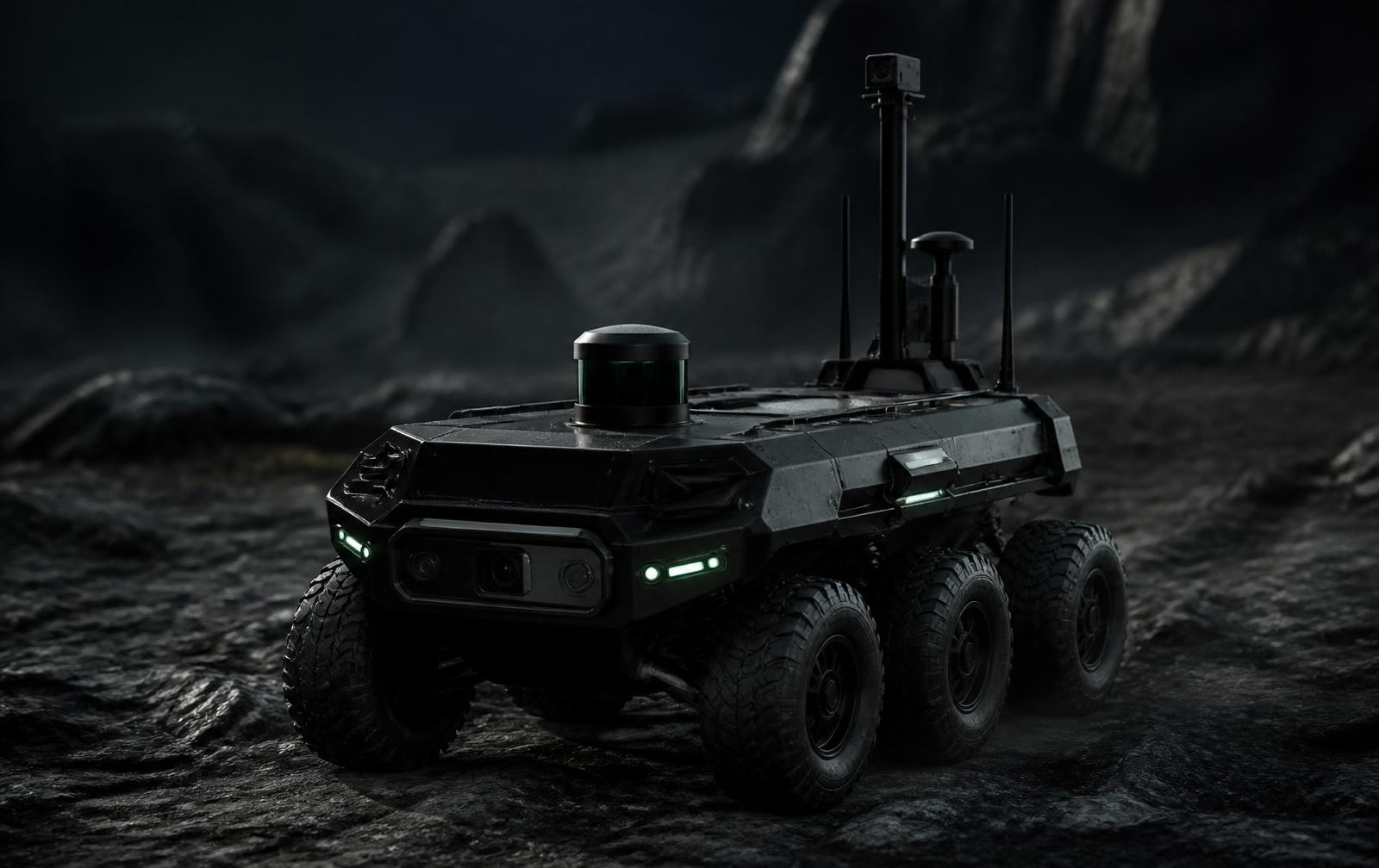
MS-04 GROUND MAPPER
A future ground robotics platform designed to complement aerial survey operations and support close-range terrain assessment.
ConceptContinuous Improvement
Ground-based mapping platform
Close-range terrain assessment. A future ground robotics platform designed to complement aerial survey operations and support close-range terrain assessment.
Features
- Six-wheel all-terrain chassis
- Sensor mast with LiDAR dome
- Forward camera array for close-range detail
- Designed to follow aerial survey tasking
Technology modules
Modular Sensor PodsSensor FusionMINE-SCAN Command
Technical specification
- Platform
- Unmanned ground vehicle
- Sensing
- LiDAR, optical, optional thermal
- Role
- Complementary to aerial survey
- Status
- Future concept
Designed for
- Close-range terrain assessment
- Follow-up survey
- Site documentation
Documentation
- Concept overviewAvailable on request
Gallery
Product imagery
MS-04 GROUND MAPPER is commercially available and deployable. Configurations are tailored per site and remain subject to local regulatory requirements.
Family