
AI & Computer Vision
Advanced AI-assisted object detection and classification.
Vision models distinguish aerial objects from background clutter, with human operators remaining in the loop for interpretation and decision-making.

Flexiview Group is developing intelligent aerial platforms that transform how cities, critical infrastructure, and protected environments understand the airspace around them.
Low-altitude airspace is becoming increasingly complex. New generations of drones and autonomous aerial systems are changing the way cities, airports, infrastructure, and organizations think about security and situational awareness.
Flexiview Group is building technology designed to help operators see, understand, and respond to activity in the airspace around them.
Stage 01
Sensor
Stage 02
AI
Stage 03
Intelligence
Stage 04
Decision
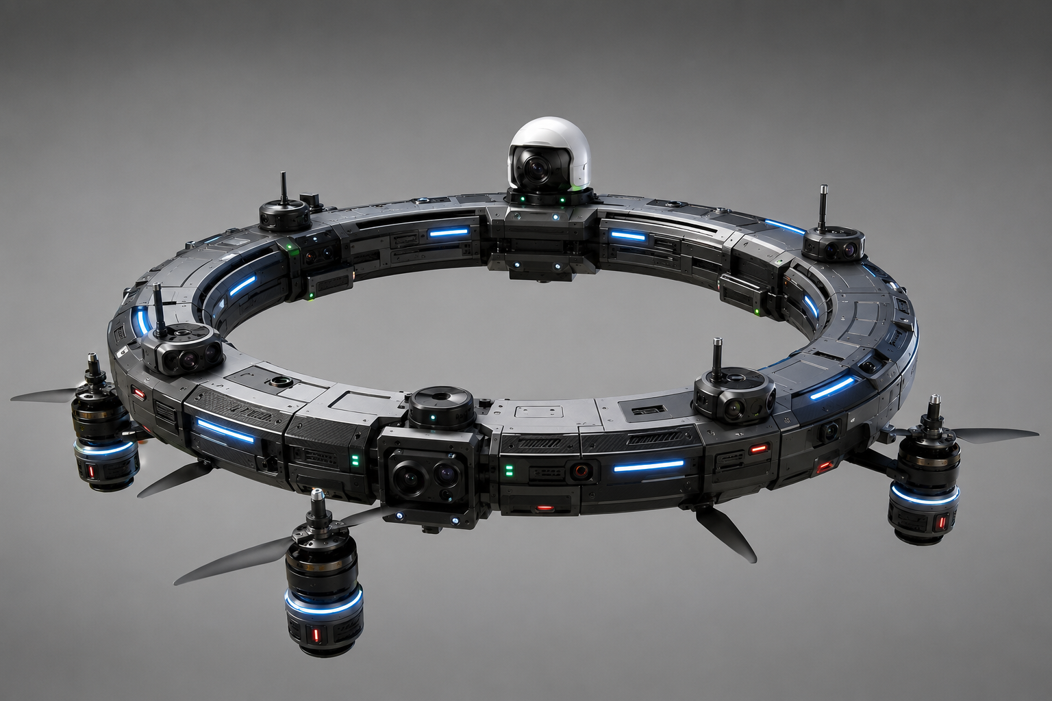
A modular 360° aerial situational-awareness platform.
Selected module
Distributed sensing designed to provide comprehensive awareness around the platform.
DR-01 is a commercially available, deployable platform. Configurations, coverage, and integrations are tailored per site and remain subject to local aviation, safety, and regulatory requirements.
Distributed sensors observe the surrounding airspace.
AI-assisted systems analyze and classify detected objects.
Objects of interest can be monitored over time.
Data is fused into a unified operational picture.
Operators receive real-time information and alerts.
A production engineering stack built to turn distributed sensing into a clear operational picture.
Advanced AI-assisted object detection and classification.
Vision models distinguish aerial objects from background clutter, with human operators remaining in the loop for interpretation and decision-making.
Combining multiple data sources to create a clearer picture of the airspace.
Optical, thermal, positional, and inertial inputs are correlated into a single track picture, reducing ambiguity from any individual sensor.
Processing data closer to the point of collection for responsive analytics.
On-platform compute is intended to reduce round-trip latency and bandwidth dependency for time-sensitive analytics.
Intelligent platforms delivering persistent monitoring in the field.
Autonomy covers stabilization, station-keeping, and health management — always within authorized, supervised operating envelopes.
Transforming raw sensor data into actionable situational awareness.
Event pipelines are designed to surface what matters: new tracks, unusual behaviour, and changes in the operational picture.
Designed for resilient data exchange between platforms and operators.
Encrypted, redundant links are part of the architecture study for telemetry, video, and command interfaces.
A staged delivery path from generally available platforms toward networked aerial intelligence.
Compact deployable monitoring platform.
Overview
A production configuration of the ring with validated geometry, sensor placement, and edge inference workloads.
Intended use
Corporate campuses, small industrial sites, and event perimeters.
Technology maturity
In serial production and generally available.
Operational environments where DR-01 configurations are deployed today.
Enhanced awareness of low-altitude airspace.
Potential application
Situational awareness around complex logistics environments.
Potential application
Monitoring technology for high-value infrastructure.
Potential application
Intelligent aerial monitoring for large operational environments.
Potential application
Technology designed to support authorized security operations.
Potential application
Situational awareness for large, complex environments.
Potential application
Deployments require authorization from the site operator and compliance with local aviation, privacy, and security regulations.
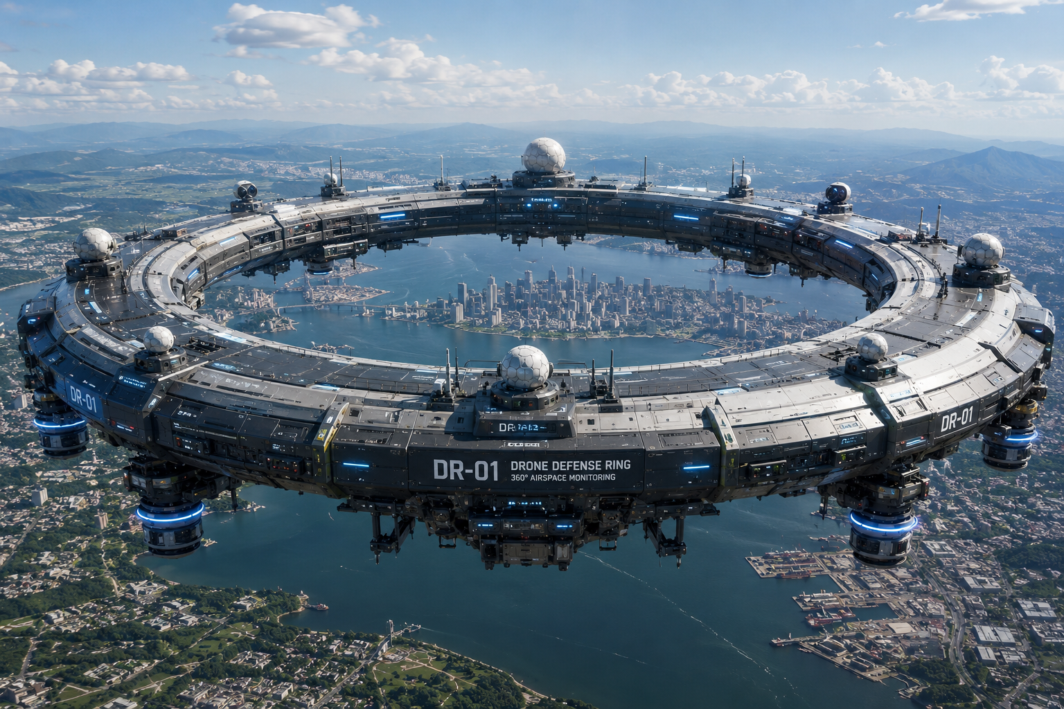
Flexiview Group is exploring the long-term potential of large-scale aerial ring architectures that could provide persistent situational awareness over defined environments.
360° Sensor Coverage
AI Intelligence Layer
Real-Time Airspace Map
Distributed Sensor Network
Deployment visualization. Configurations, coverage, and integrations are tailored per site and remain subject to local aviation, safety, and regulatory requirements.
A unified ground-control system for live monitoring, classification review, alerts, and event history — designed with a human operator in the loop.
Ground Control · Operator Interface
Simulated data
Live Airspace Map
Detected Objects
TRK_0142
Rotary UAS · ALT 112 m · 14 m/s
TRK_0147
Unclassified · ALT 88 m · 9 m/s
TRK_0151
Bird (filtered) · ALT 64 m · 11 m/s
TRK_0158
Rotary UAS · ALT 140 m · 18 m/s
System Health
Modules
Our delivery programme is structured in stages, from commercial launch through networked multi-site operations.
2026
MINI, SCOUT, and FACILITY available for order and deployment.
2027
Multi-site rollouts with infrastructure, port, and industrial operators.
2028
Supervised evaluation in authorized, controlled environments.
Future
Collaborative pilots with partners, subject to approvals.
Long Term
Research toward a connected ecosystem of aerial platforms.
Dates shown are indicative internal development targets, not guaranteed milestones, commitments, or availability dates. Progress depends on engineering results, regulatory approval, safety validation, and funding.
For procurement, deployment planning, technology partnerships, or enterprise inquiries.