
MINE-SCAN · Prototype
MS-01 SCOUT
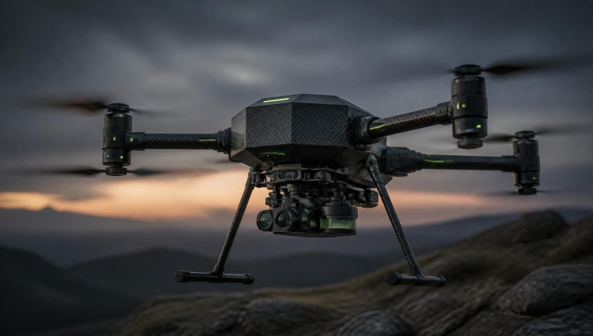
A compact multi-sensor aerial platform designed for rapid terrain surveying, mapping, and research, built around a quick-release modular payload bay.
PrototypeContinuous Improvement
Compact aerial survey platform
The first MINE-SCAN prototype. A compact multi-sensor aerial platform designed for rapid terrain surveying, mapping, and research, built around a quick-release modular payload bay.
Features
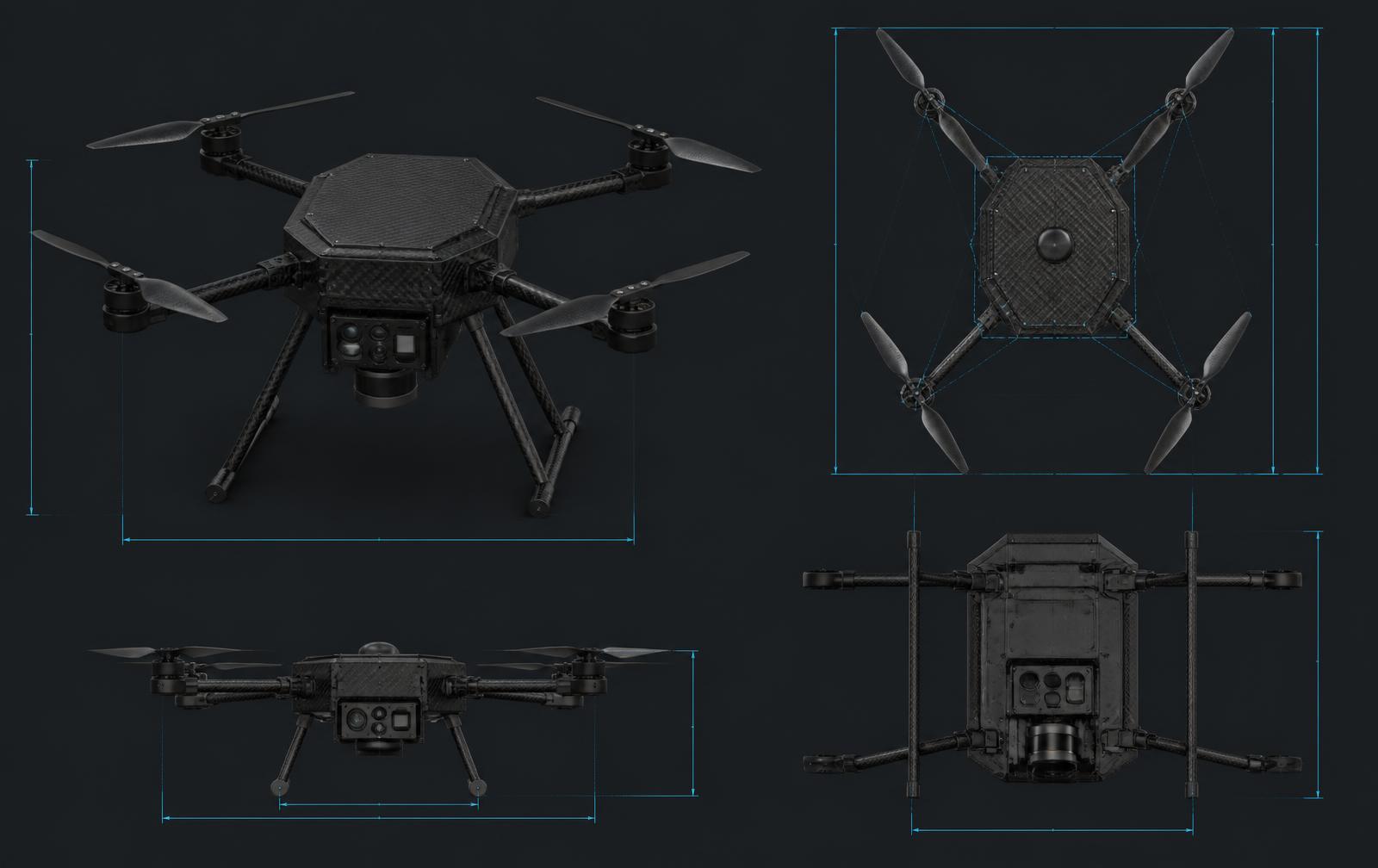
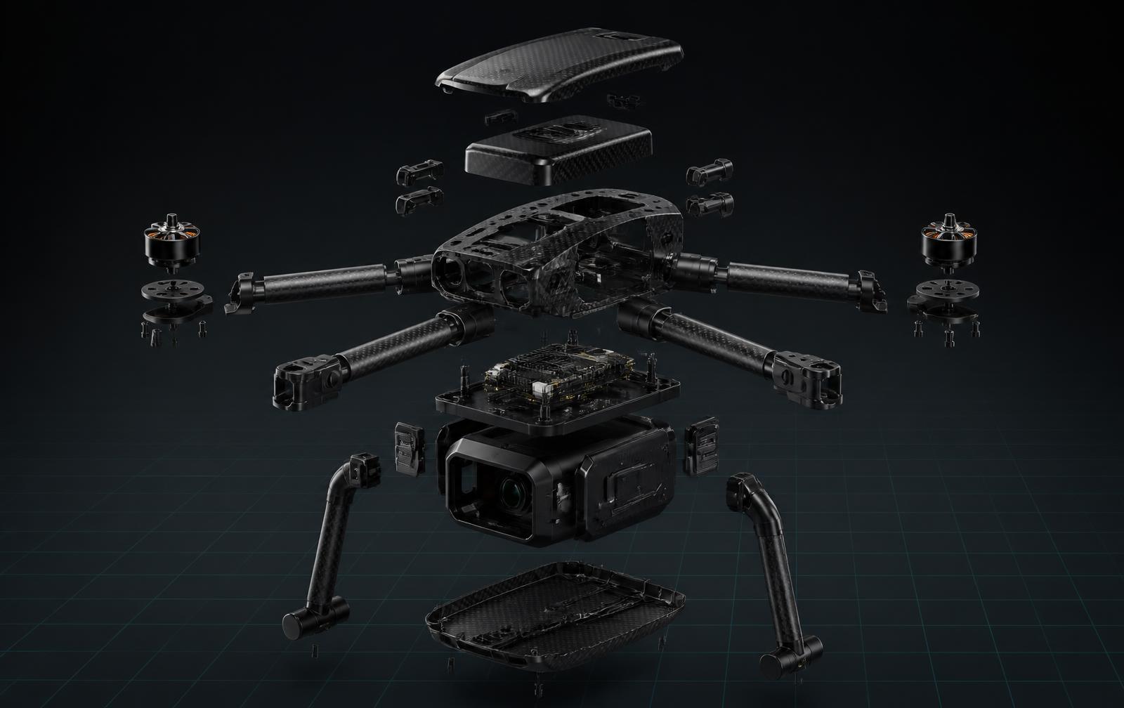
- Compact multirotor airframe with four foldable arms
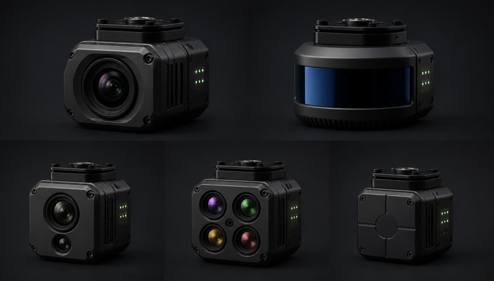
- Quick-release underside modular payload bay
- Downward-facing LiDAR and RGB mapping camera
- RTK/GNSS positioning module
- Lightweight landing gear and 3D-printed shells
- Optional sensor pod positions
Technology modules
Modular Sensor PodsFLX-EDGE AISensor Fusion3D Terrain Mapping
Technical specification
- Airframe
- Compact quadrotor, foldable arms
- Payload
- Universal quick-release sensor bay
- Positioning
- RTK/GNSS module
- Compute
- FLX-EDGE AI onboard computer
Designed for
- Hazardous terrain mapping
- Environmental surveying
- Research programmes
Documentation
- MINE-SCAN product briefAvailable on request
Gallery
Product imagery

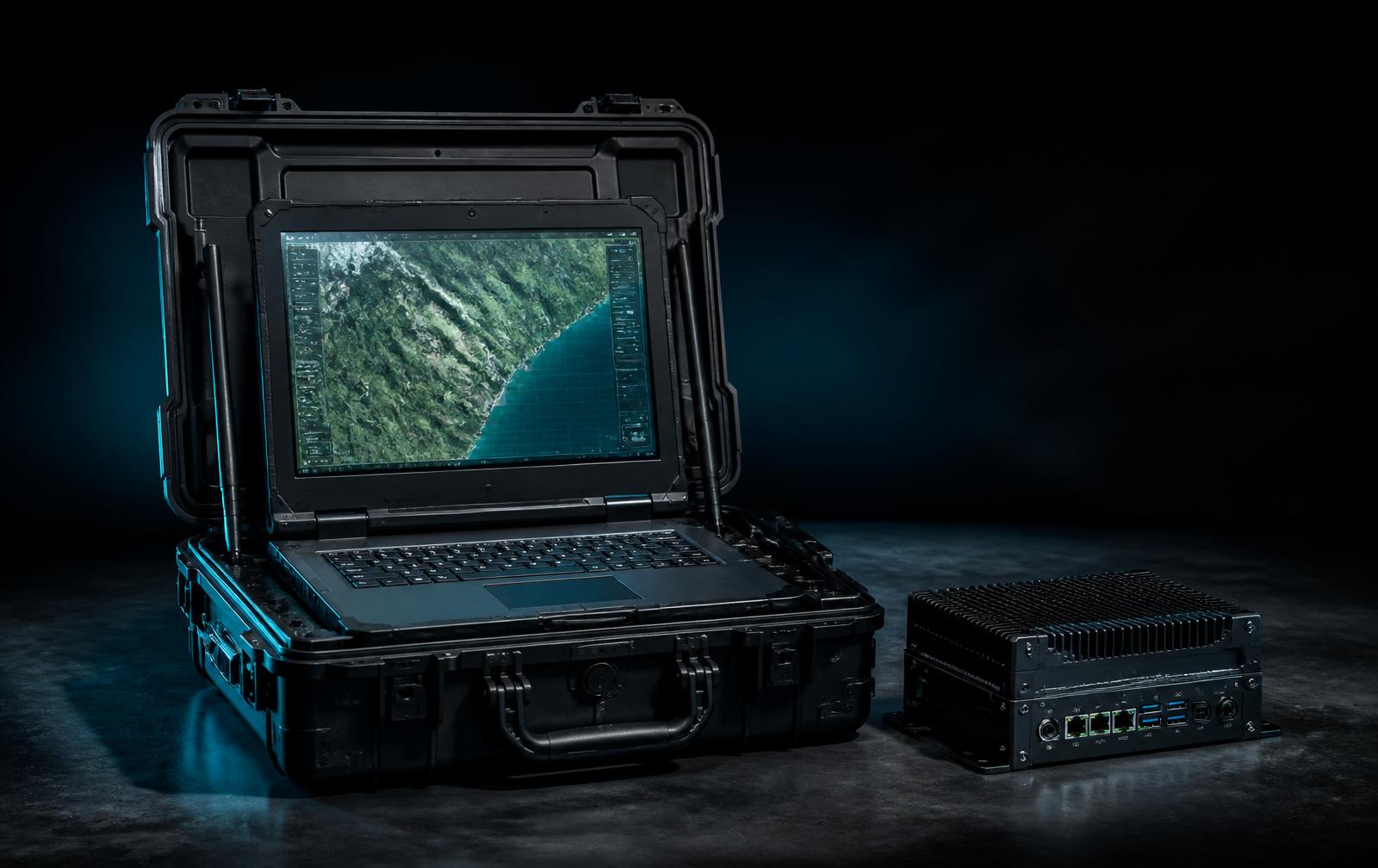
MS-01 SCOUT is commercially available and deployable. Configurations are tailored per site and remain subject to local regulatory requirements.
Family