
MINE-SCAN · Concept
MS-02 SURVEYOR
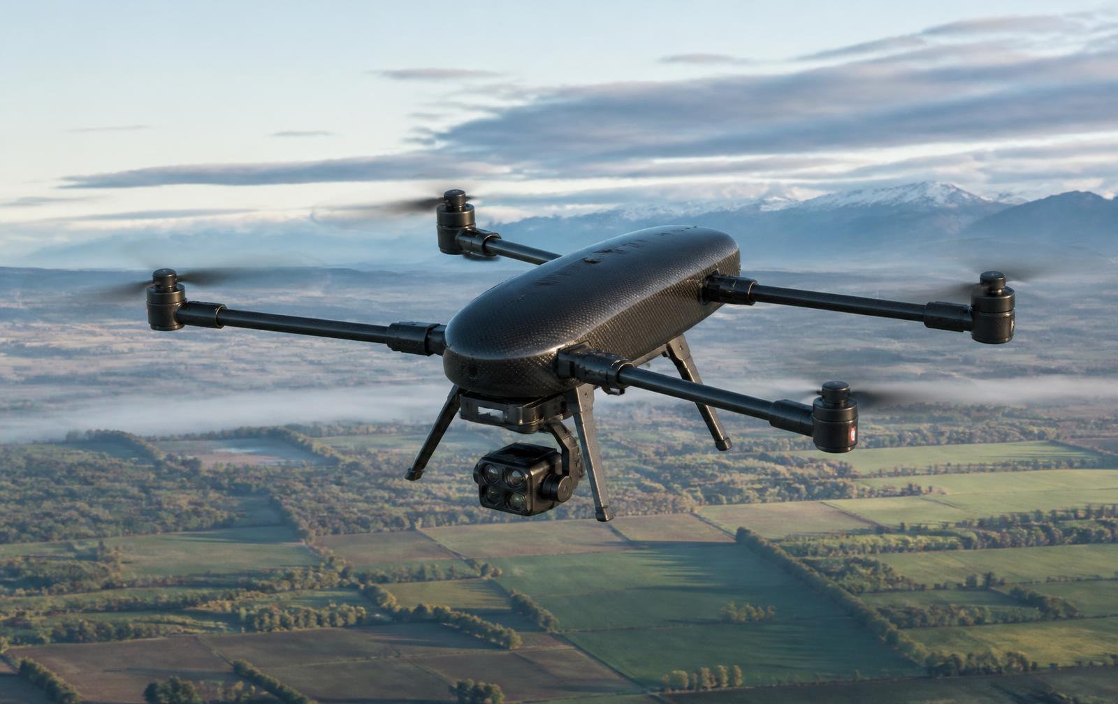
A larger aerial mapping platform designed for longer-duration and larger-area survey missions across open and remote terrain.
ConceptContinuous Improvement
Extended survey platform
Longer duration, larger areas. A larger aerial mapping platform designed for longer-duration and larger-area survey missions across open and remote terrain.
Features
- Extended-endurance airframe
- Large-area corridor and grid mapping
- High-capacity survey camera gimbal
- Designed for remote deployment logistics
Technology modules
Modular Sensor PodsSensor Fusion3D Terrain Mapping
Technical specification
- Airframe
- Extended-endurance quadrotor
- Mission profile
- Long-duration, wide-area
- Payload
- Survey camera and LiDAR options
- Status
- Concept / development
Designed for
- Large-area terrain mapping
- Post-conflict land assessment
- Infrastructure corridors
Documentation
- Concept overviewAvailable on request
Gallery
Product imagery
MS-02 SURVEYOR is commercially available and deployable. Configurations are tailored per site and remain subject to local regulatory requirements.
Family